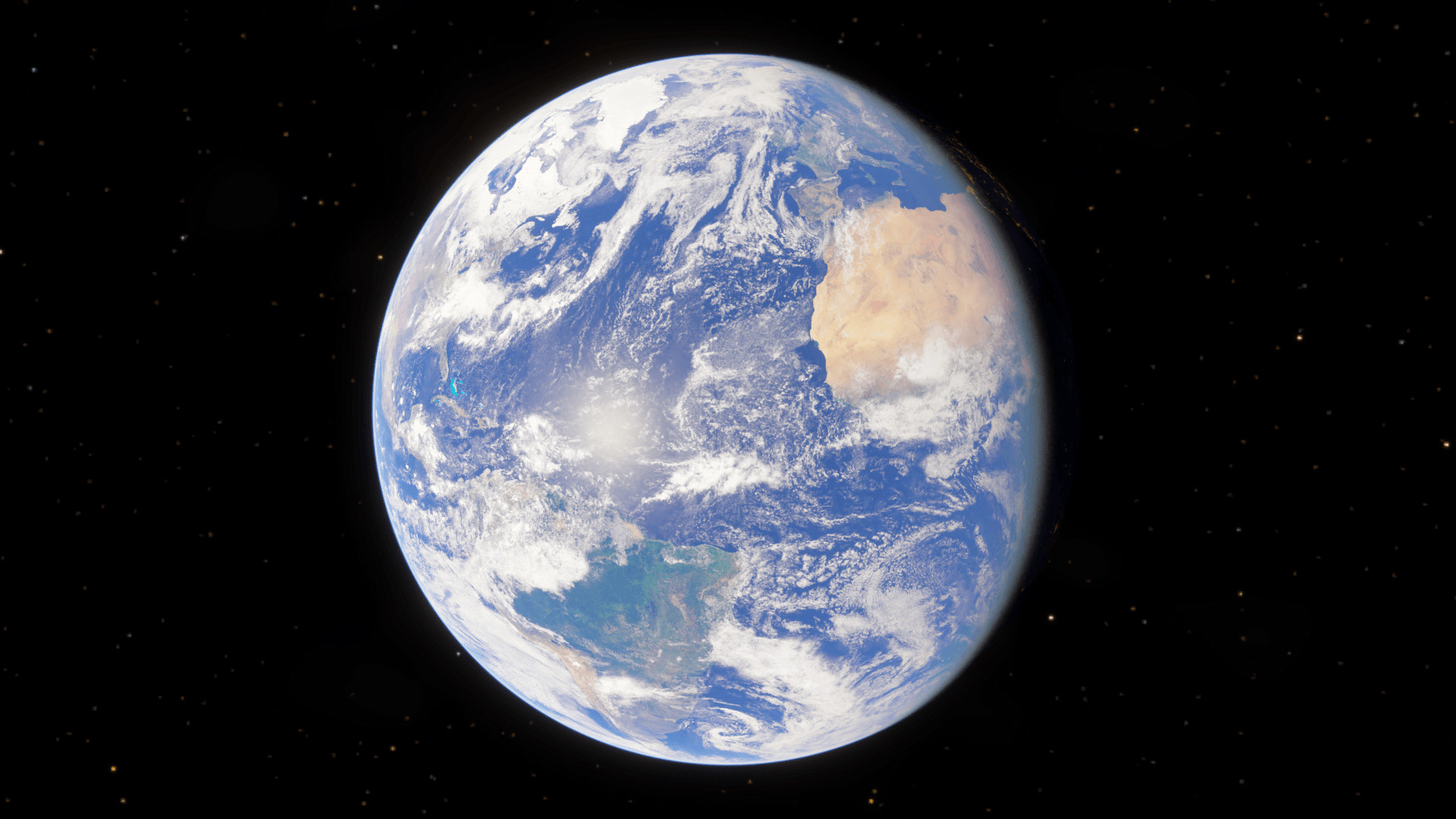
My goal was to create a realistic 3D model of earth, avoiding many common inaccuracies
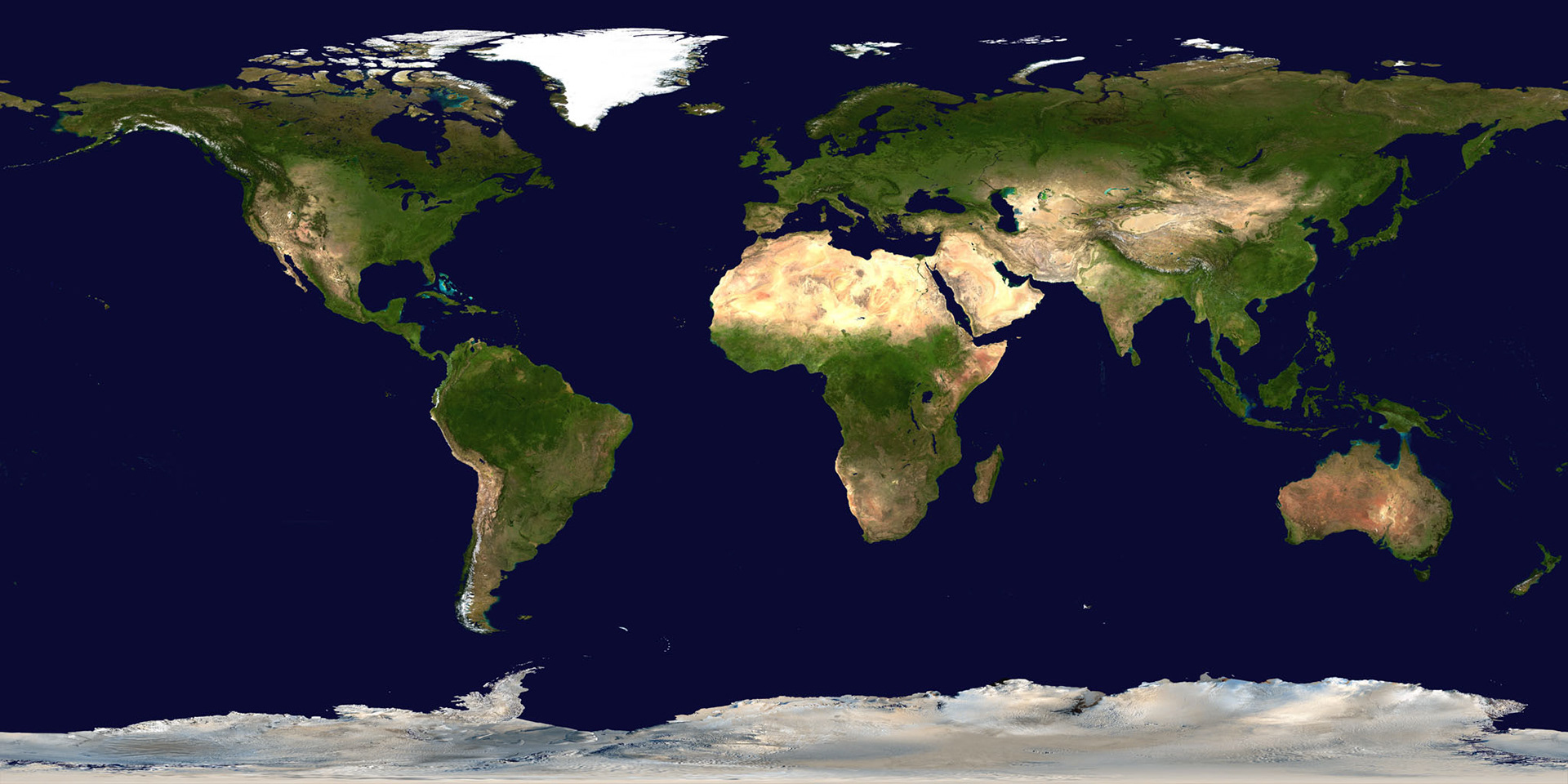
NASA’s “Blue Marble Next Generation” is commonly used set of textures that provide elevation data, a cloud map, a specular map, and textures for each month.
The images that are most often used, however, are composites of all months, such as the image below on the left. These maps minimize the amount of snow visible, essentially showing the northern and southern hemisphere in summer at the same time.
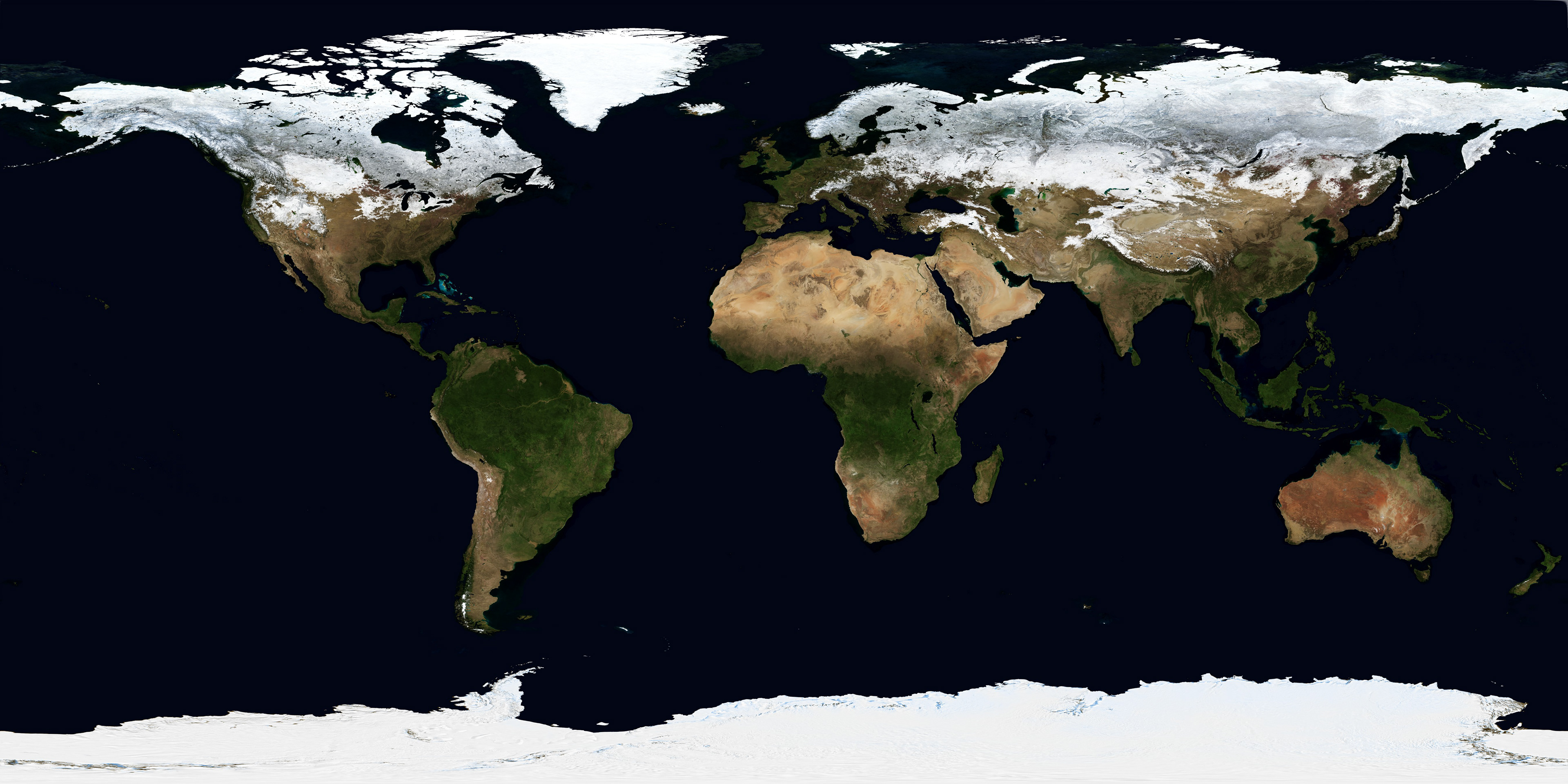
Instead I use one of the twelve monthly maps, and ensure that the planet is tilted properly towards the sun.
The atmosphere is rendered with volume scatter and absorption shaders. The density varies based on the Earth’s atmospheric scale height (every 8.5 km of altitude, the density decreases by a factor of e, 2.72). To improve performance, this is cut off at 80km, where the atmosphere is less than 0.01% as dense as sea level. Additional shells of volumetric emissive airglow are added on the night side